File:India with Chakras.jpg

Size of this preview: 500 × 600 pixels. Other resolution: 1,956 × 2,346 pixels.
Original file (1,956 × 2,346 pixels, file size: 1.16 MB, MIME type: image/jpeg)
Summary
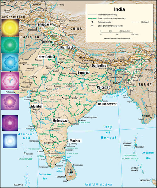
Principle cities in the bands of latitude corresponding to the chakras of India
Adapted from a map produced by the CIA
Licensing
Copyright © The Summit Lighthouse, Inc. All rights reserved.
File history
Click on a date/time to view the file as it appeared at that time.
| Date/Time | Thumbnail | Dimensions | User | Comment | |
|---|---|---|---|---|---|
| current | 18:05, 22 October 2019 | | 1,956 × 2,346 (1.16 MB) | Pduffy (talk | contribs) | Principle cities in the bands of latitude corresponding to the chakras of India Adapted from a [https://www.cia.gov/library/publications/resources/cia-maps-publications/India.html map produced by the CIA] |
You cannot overwrite this file.
File usage
The following page uses this file: